Blog
US Federal Transit Administration finalizes plan to collect GTFS URLs in US National Transit Database
Posted on April 28, 2023
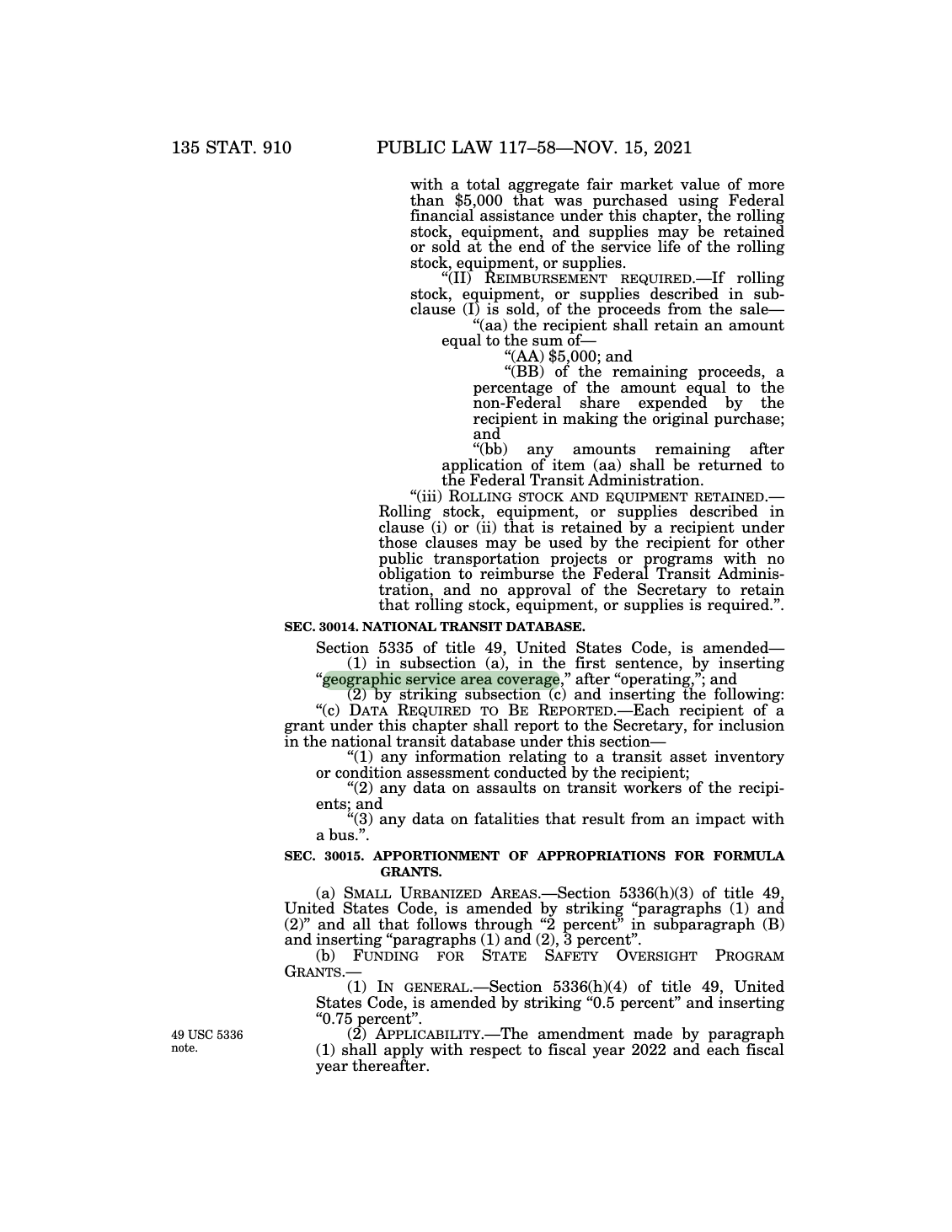
To meet meet the Bipartisan Infrastructure Law's requirement to collect data on American transit agencies' "geographic service area coverage," the US Federal Transit Administration will begin to require GTFS feeds from fixed-route transit agencies that receive federal funds.
Follow the Interline blog using RSS
Posted on November 28, 2022
For the latest updates from Interline, you can now follow our blog using an RSS feed reader.
Updated GTFS-Fares v2 for the SF Bay Area
Posted on October 4, 2022 and updated on April 20, 2023
MTC and Interline have released updated fares and transfer discounts for over 30 Bay Area transit agencies using the adopted GTFS-Fares v2 "base implementation" and a series of proposed extensions.
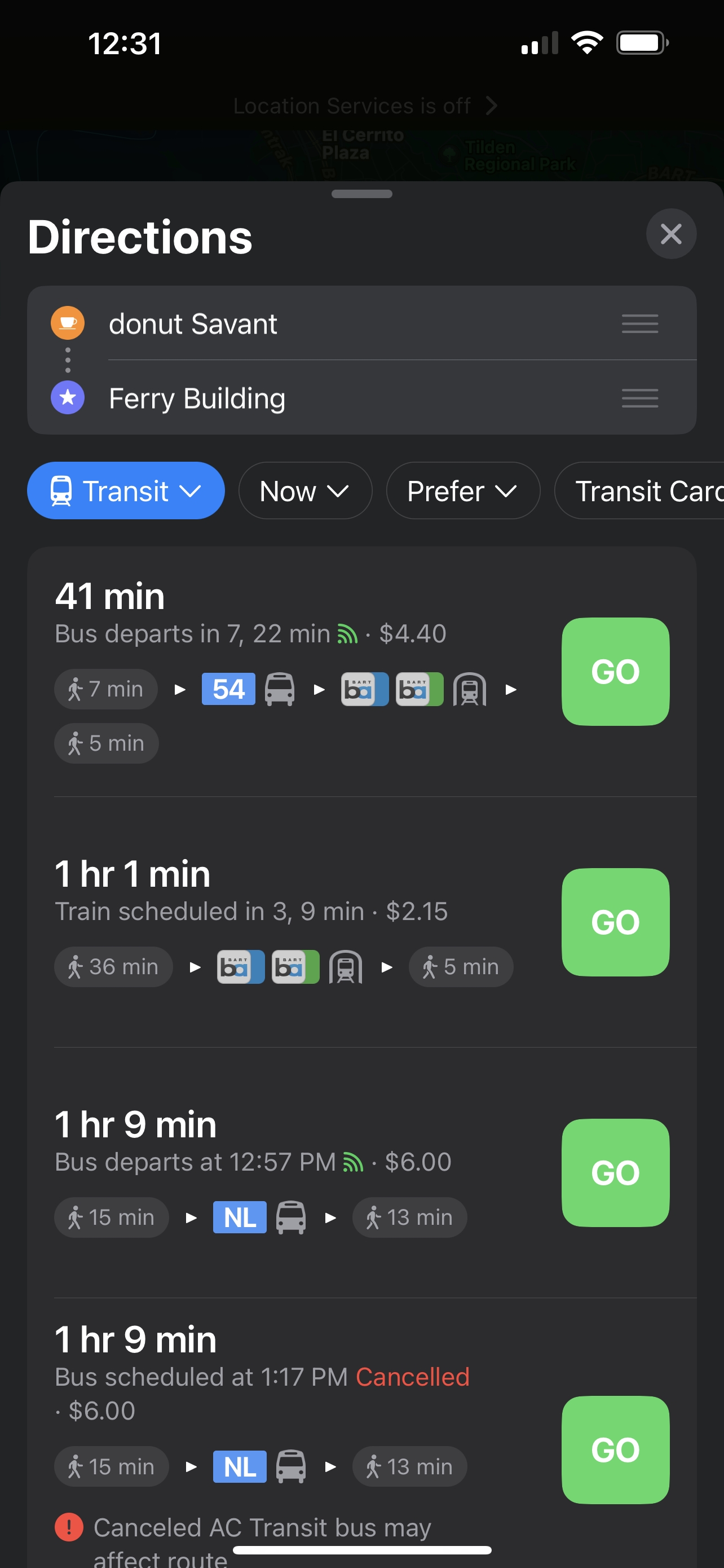
US National Transit Database to collect GTFS URLs
Posted on September 7, 2022
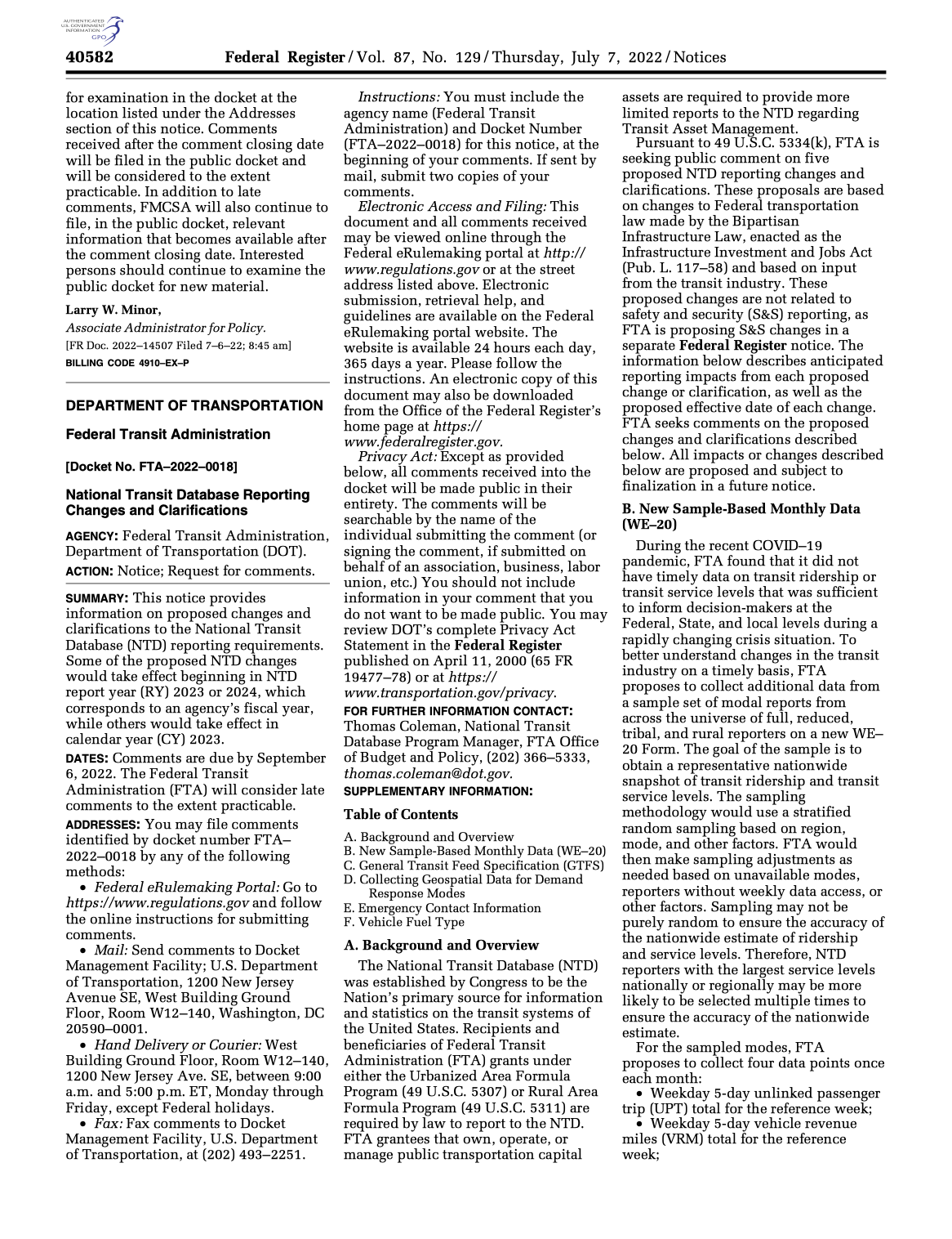
American public transit agencies that receive federal funds are required to report information for inclusion in the National Transit Database. The Federal Transit Administration is proposing that each agency will also provide a URL for a GTFS feed in their NTD reports. Submitted GTFS feeds will enter the public domain. We are pleased to see this proposal and offer feedback based on our experience to FTA.
Observed stop arrivals and departures through the SF Bay Area
Posted on July 15, 2022
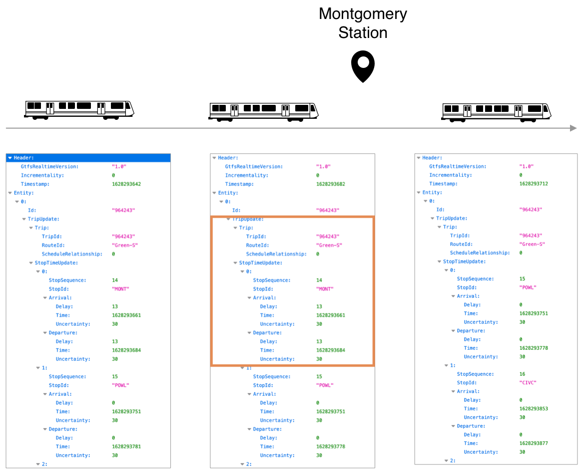
Interline and the Metropolitan Transportation Commission are now releasing monthly "stop observation" datasets derived from the Regional GTFS Realtime Feed.
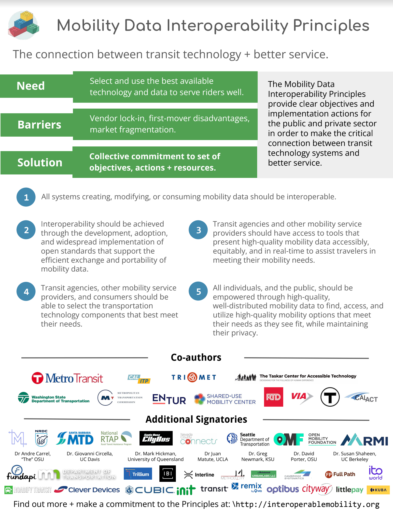
Supporting the Mobility Data Interoperability Principles
Posted on November 18, 2021
Interline is pleased to sign the newly drafted Mobility Data Interoperability Principles.
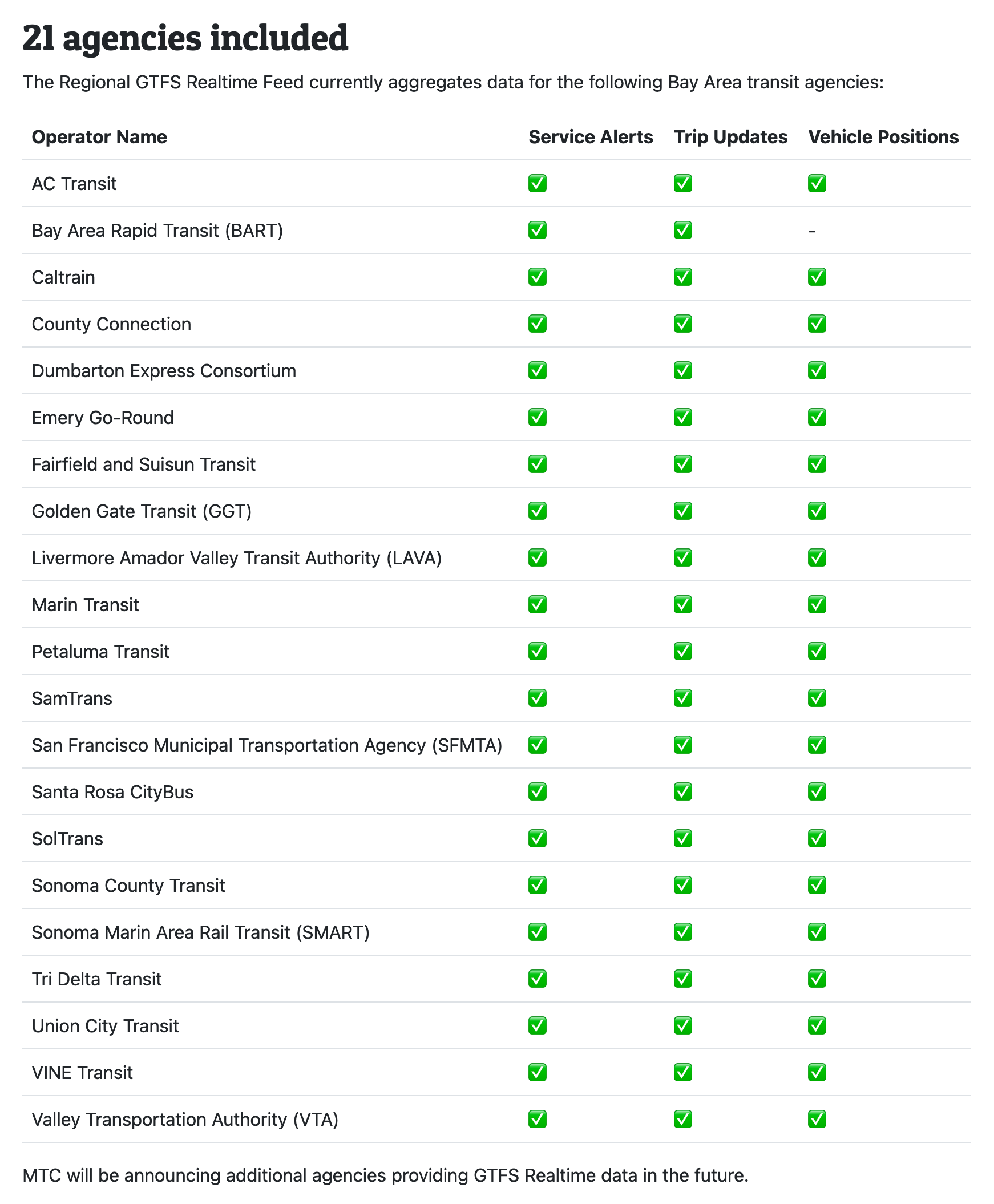
SF Bay Area's Regional GTFS Realtime Feed
Posted on September 10, 2021
The Metropolitan Transportation Commission and Interline are pleased to announce a single consolidated Regional GTFS Realtime feed. Developers can combine the static Regional GTFS Feed and the Regional GTFS Realtime endpoints for comprehensive and up-to-date views of the Bay Area's bus, train, and ferry services.
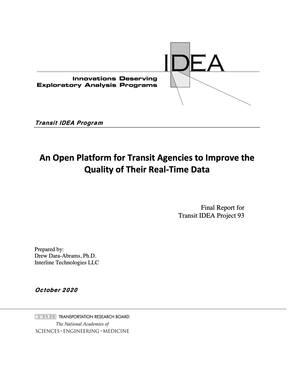
Our GTFS Realtime validation report published by the Transportation Research Board
Posted on January 19, 2021
Now available from the US Transportation Research Board: an in-depth report on our experience building and testing an open platform to validate GTFS Realtime data for transit agencies.
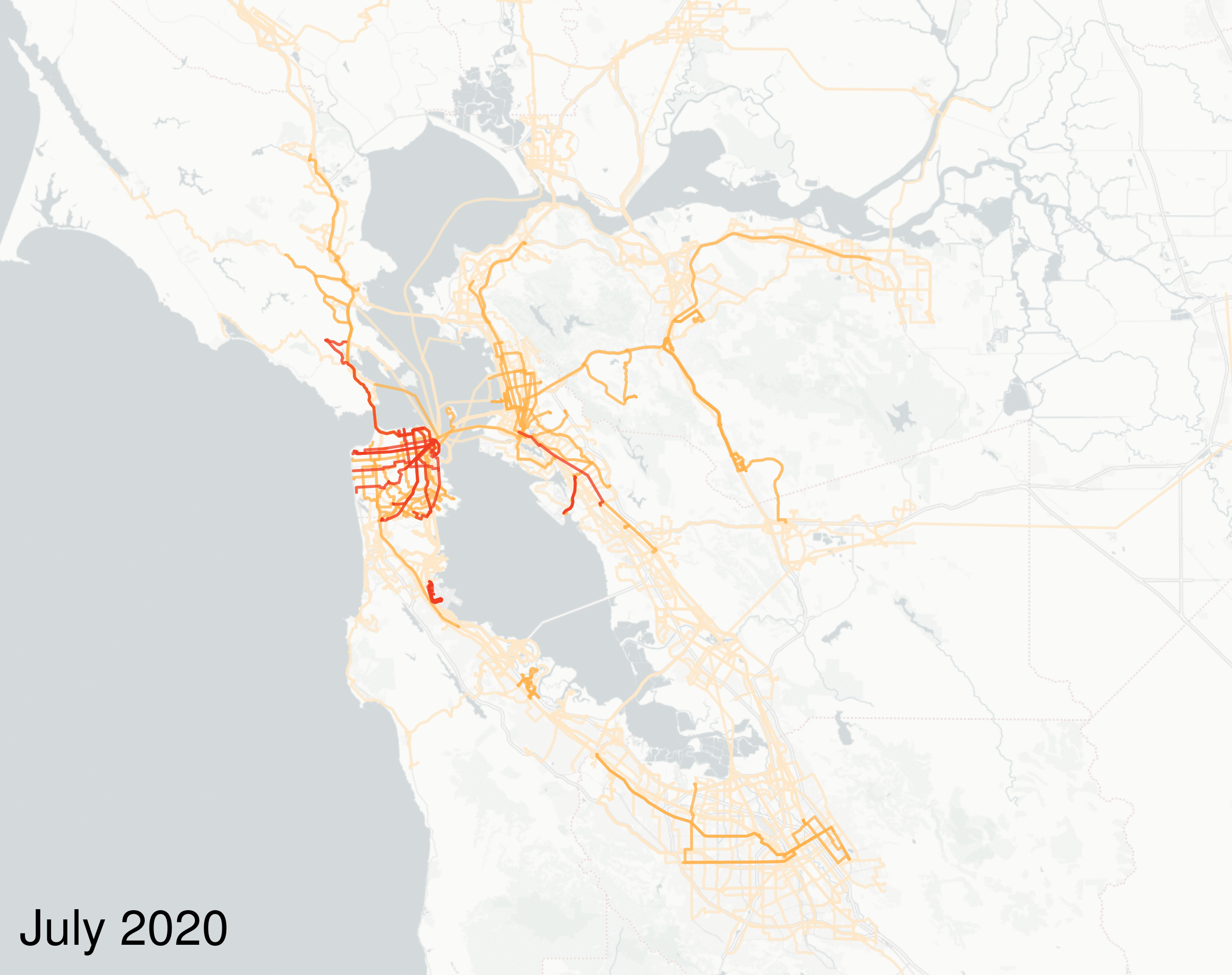
SF Bay Area's Regional GTFS Feed Expanded
Posted on August 10, 2020
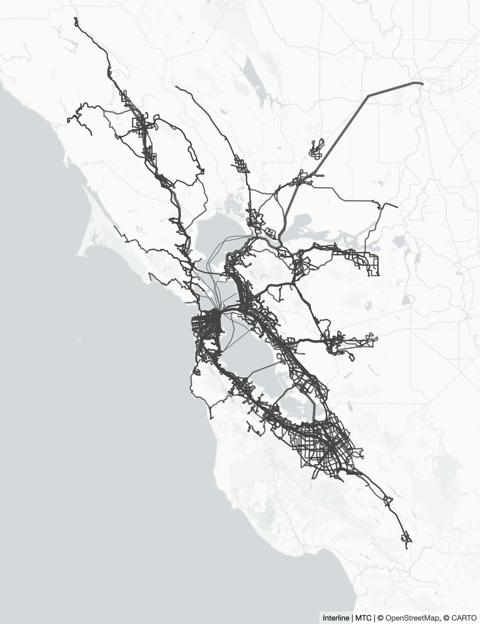
The San Francisco Bay Area's Regional GTFS Feed now includes station pathways and levels, to improve the wayfinding experience for riders, and fares and transfer discounts, to better account for the cost of travel across the eight largest transit agencies. We also now produce Historical Feeds, which give a retrospective view of each month's transit service.
A Regional GTFS Feed for the San Francisco Bay Area
Posted on January 8, 2020
Last year, Interline began a "startup in residence" at the Metropolitan Transportation Commission. Now we're pleased to publicly release our first creation: the San Francisco Bay Area's Regional GTFS Feed.
Even more geospatial tools supporting the "GeoJSONL" format
Posted on March 8, 2019
The "GeoJSONL" format has the easy readability of a GeoJSON file without the performance limitations of a GeoJSON file. Last year we started producing GeoJSONL files from our OSM Extracts service. Now HERE XYZ supports the format for ingest, as well as a growing list of long-existing and brand-new geospatial tools.
Transportation Research Board funds an open platform for transit agencies to improve the quality of their real-time data
Posted on January 23, 2019
We're excited to share that the Transportation Research Board has awarded a Transit IDEA Program grant to Interline. We're using this opportunity to expand Transitland to support GTFS Realtime feeds. Our goal is for Transitland to provide a suite of validation tools for public-transit agency staff to validate the contents and quality of their real-time data feeds.
Metropolitan Transportation Commission and Interline to tackle regional transit data challenges
Posted on January 10, 2019
We're excited to share that the Metropolitan Transportation Commission has selected Interline through a competitive process to participate in its 2019 Startup in Residence (STIR) program. Interline and MTC will collaborate on the problem of regional transit data.
Bringing Back the Spirit of Map Mashups: Combine Open Geodata APIs using HERE XYZ
Posted on October 1, 2018
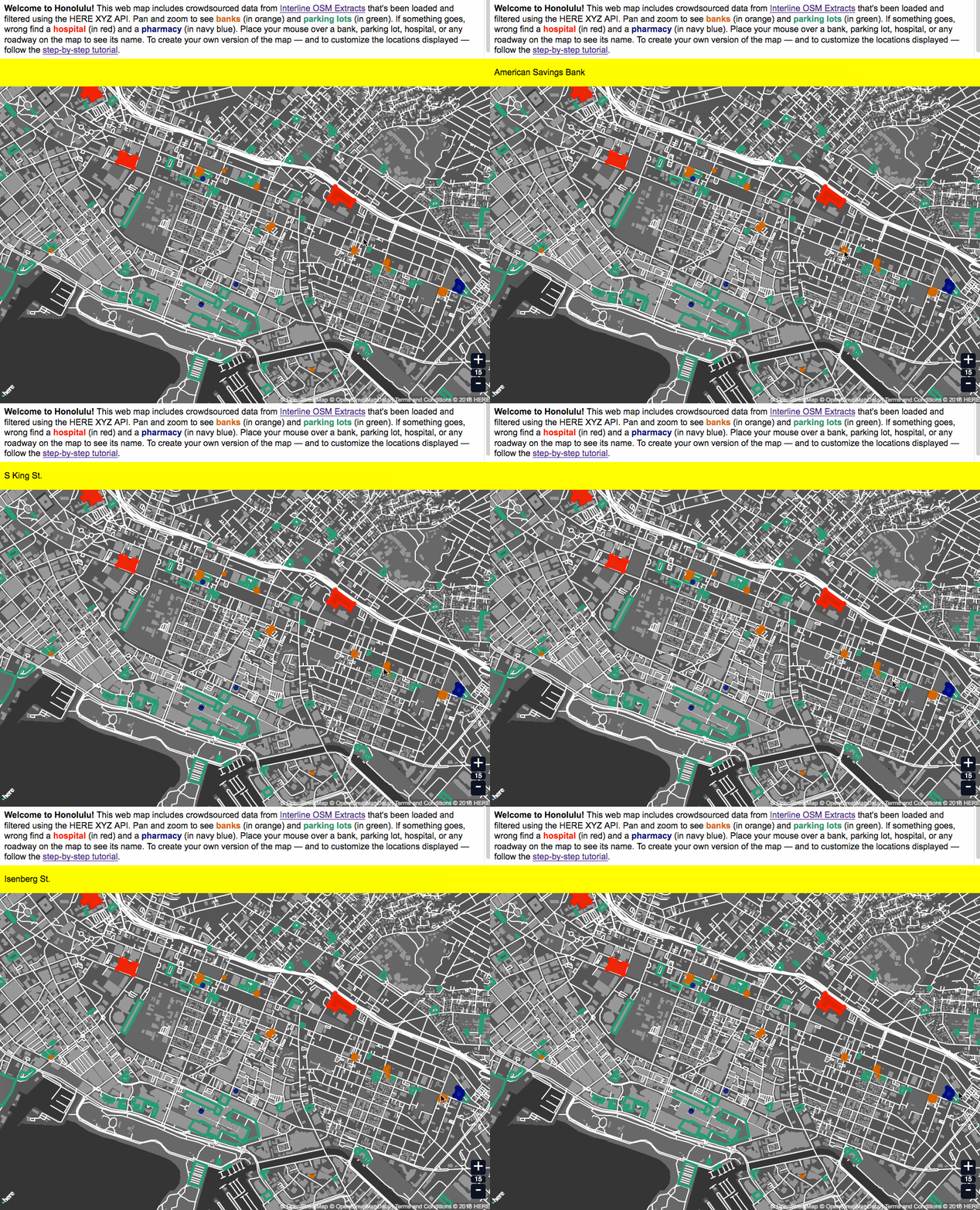
Interline and HERE are collaborating to make Interline's open data services like OSM Extracts and the Transitland API easy to combine, mix, filter, analyze, and visualize using the new HERE XYZ platform.
GeoJSONL: An optimized format for large geographic datasets
Posted on September 11, 2018
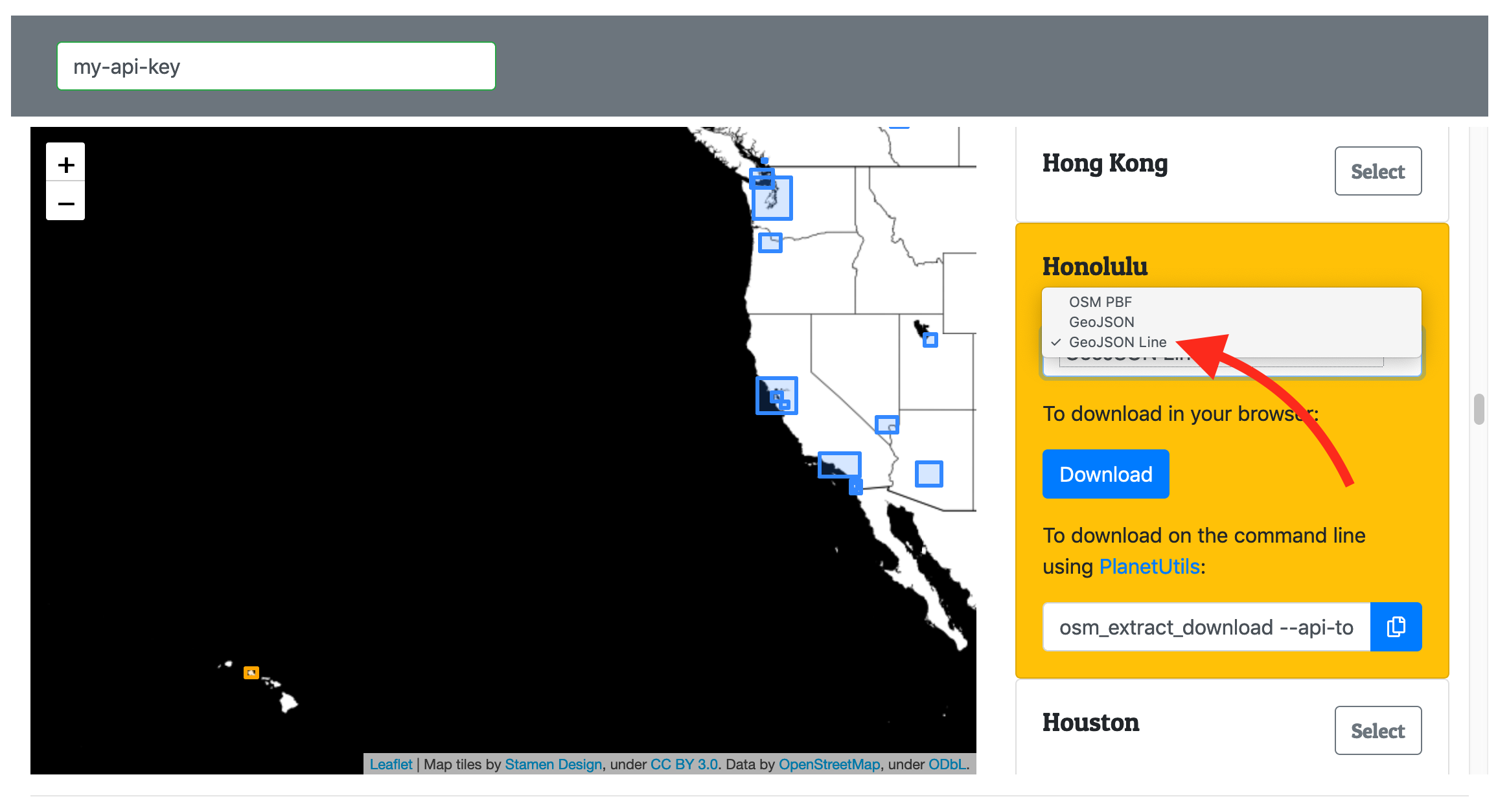
GeoJSON Lines (geojsonl) is a simple, newline-delimited variant of GeoJSON that allows large datasets to be loaded with a much lower memory footprint and easily integrate with traditional text-based tools. Interline OSM Extracts now provides geojsonl, along with a small but growing number of tools.
Practices that help complex and collaborative open-source projects survive and thrive
Posted on July 6, 2018
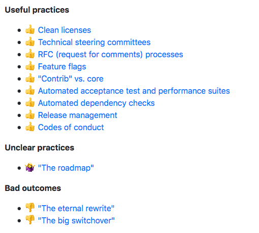
At Interline, we specialize in deploying, creating, and managing the growth of open-source software. We've encountered many practices that can help complex and collaborative open-source projects survive and thrive. This blog post provides a tour through many open-source practices, particularly ones that are helpful for aging but popular software packages like OpenTripPlanner.
Producing 200 OpenStreetMap extracts in 35 minutes using a scalable data workflow
Posted on May 25, 2018
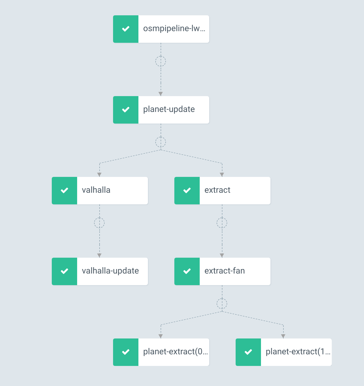
Interline now offers OSM Extracts, a service enabling software developers and GIS professionals to download chunks of OpenStreetMap data for 200 major cities and regions around the world. In this blog post, we describe how we generate those 200 extracts in parallel using Kubernetes and the Argo workflow manager.
