Transitland APIs for Developers
Transitland is an open-data platform built on thousands of public-transit data feeds from around the world. We started Transitland in 2014 and continue to expand the platform. It’s now the largest and most feature-rich GTFS and GTFS Realtime aggregator. Transitland is the ideal solution for using data from many transit operators in web or mobile apps, maps, data visualizations, GIS analyses, and travel demand models.
Transitland APIs are ideal for powering clients that query for data as needed. If you are analyzing transit data at large scales, see also Interline’s custom bulk transit data services.
Features
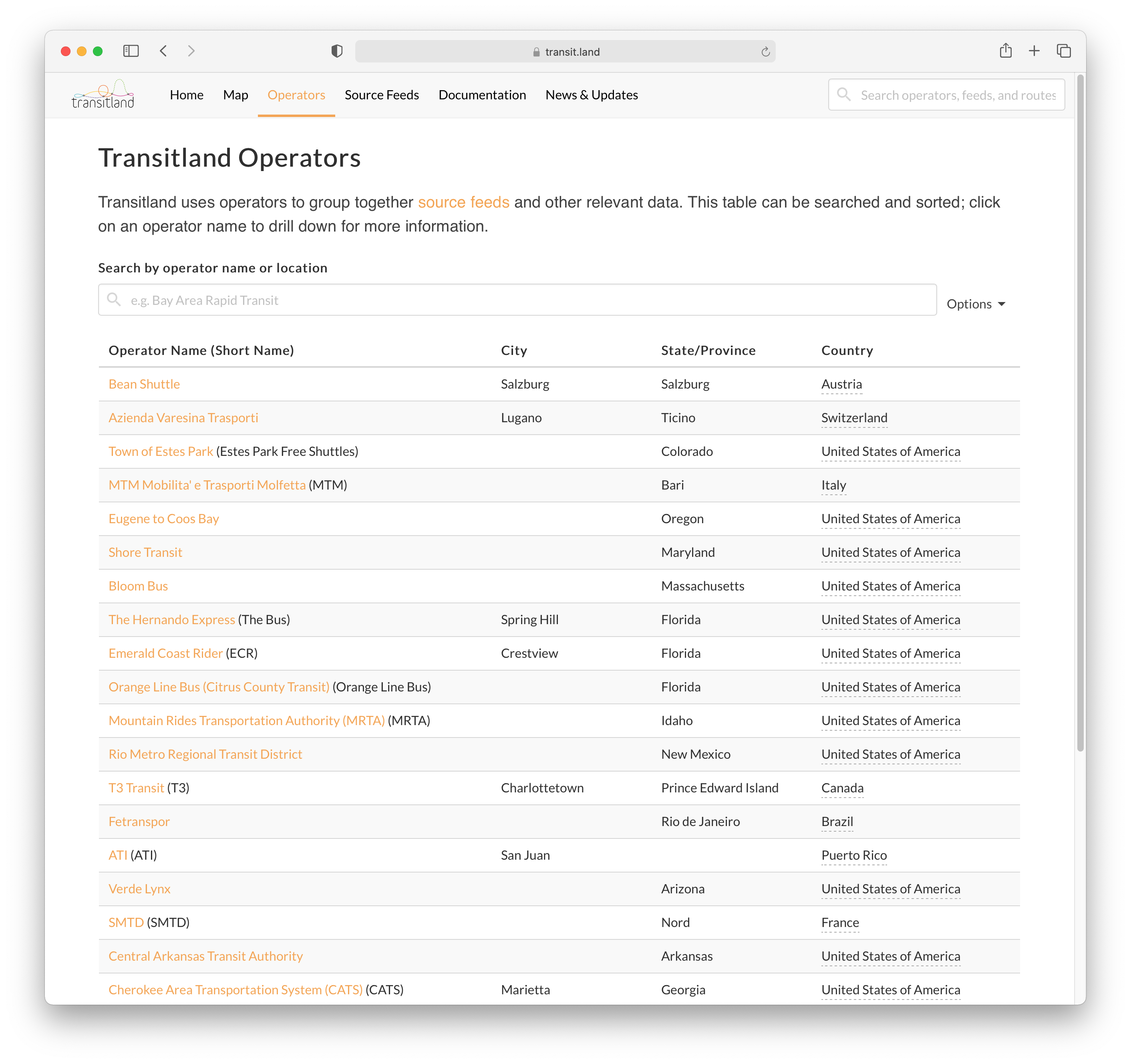
2,000+ source feeds
Transitland aggregates from thousand of GTFS and GTFS Realtime feeds around the world, fetching new feed versions, validating, and importing on a daily basis. All are welcome to add to the Transitland Atlas feed registry.
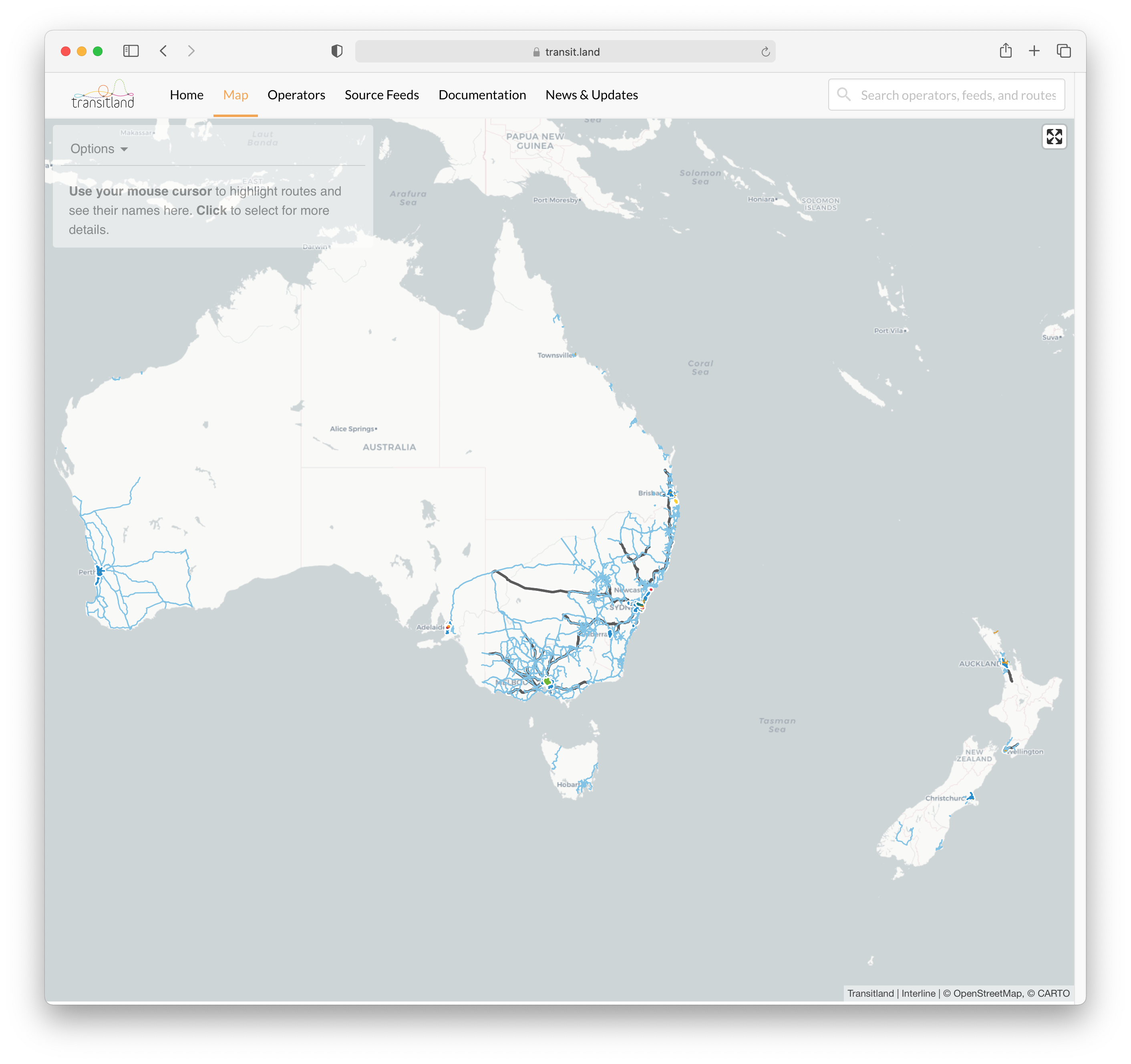
global transit map
Transitland includes buses, trains, subways, and ferries across over 50 countries. Pan and zoom across Transitland’s global transit map to view routes and stops, or use the v2 Vector Tile API to build your own.
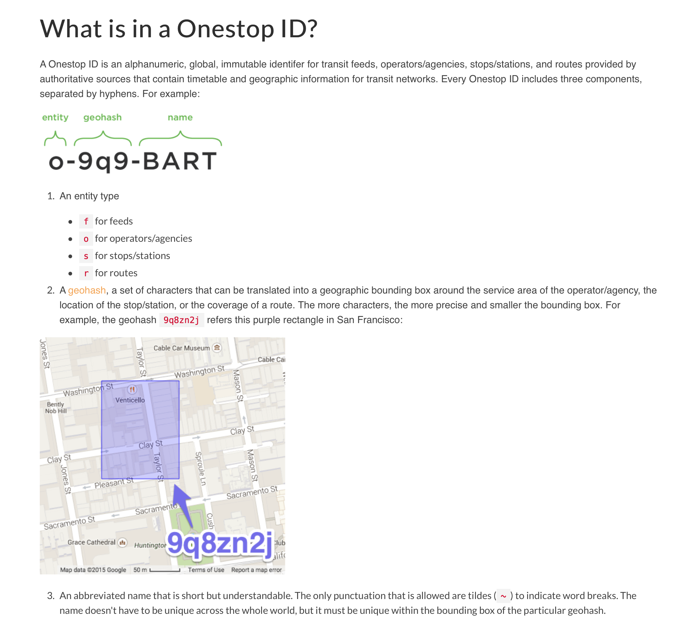
unique Onestop IDs
When using feeds from multiple operators, IDs often clash. Unexpected conflicts can also occur when using multiple versions over time from the same operator. Transitland solves this problem with the Onestop ID. Onestop IDs are globally unique. Each Onestop ID provides just enough information to look up a feed, an operator, a stop/station, or a route. Onestop IDs are used across the Transitland Atlas, the Transitland v1 and v2 APIs, and the Transitland website. Many developers and analysts also use Onestop IDs within their own apps and datasets to associate their records with Transitland.
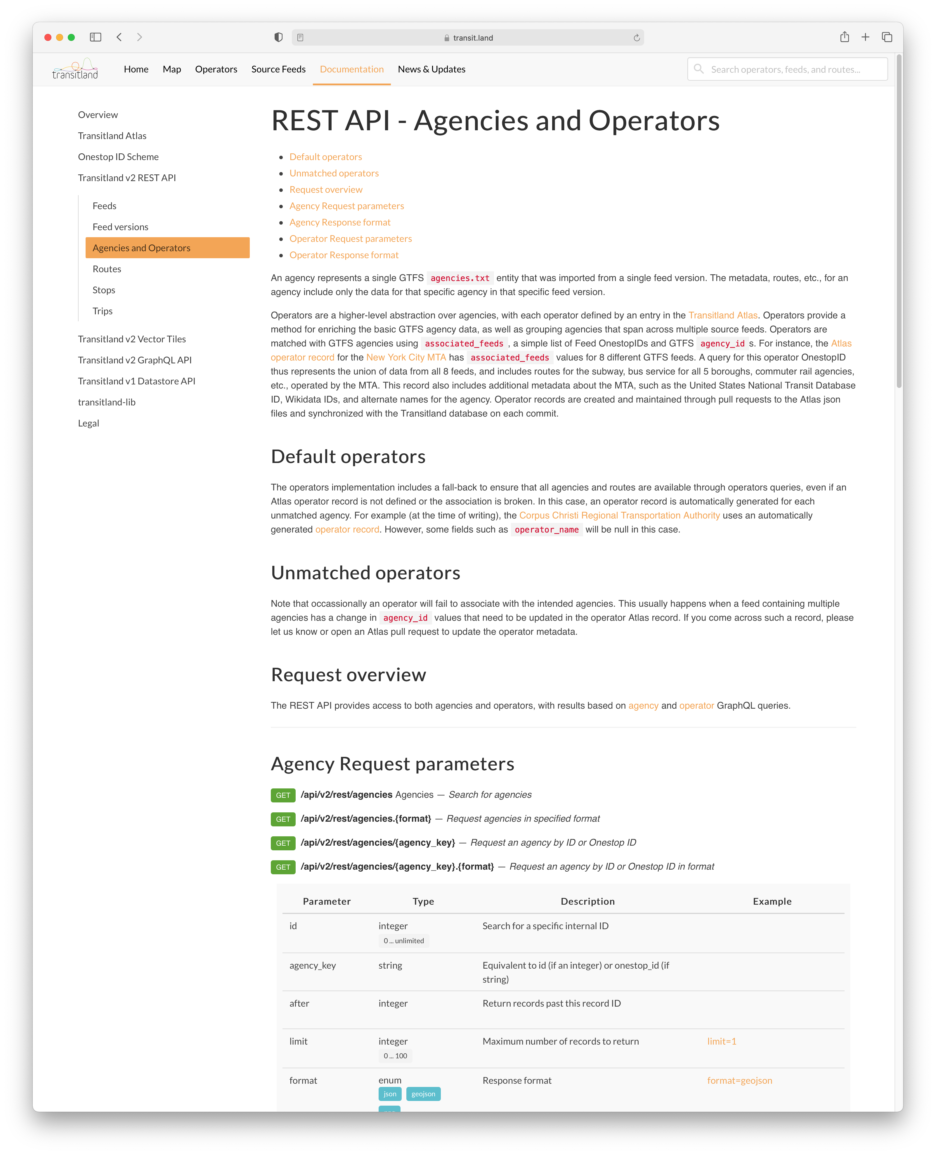
powerful REST API
The Transitland v2 platform features a new REST API that is fast, flexible, and reliable. Search across Transitland’s contents using a wide range of query options. Quickly page through results.
The v2 REST API outputs JSON, GeoJSON, and static PNG images (to generate maps of operator service areas, routes, and stops.
Questions & Answers
- We have our own software for ingesting GTFS feeds. What advantages does Transitland provide?
Most transit operators create their own GTFS feeds with little awareness of how their feeds may — or may not — work with other operators’ feeds. Transitland is designed specifically to support thousands of transit operators providing overlapping and interconnected service. Onestop IDs are globally unique and prevent data from different operators from clashing, even if operators use similar internal IDs. Transitland’s import workflows, database schemas, and APIs are all tuned to handle many large feeds in parallel. Interline staff and partners maintain the Transitland Atlas feed registry. If you are only working with one or two GTFS feeds, your own software may be simplest — if you aim to work with more, the full package of the Transitland platform is both easier and more powerful.
- Can we run our own copy of Transitland?
Yes. We re-designed Transitland v2 from the ground up to be modular. This flexibility allows Transitland to be customized and re-deployed. Interline runs custom versions of the Transitland platform for clients as part of their GTFS production infrastructure, as well as for clients who use their Transitland deployment to aggregate and consume GTFS. Contact us to learn about how we can customize and re-deploy Transitland for your organization’s needs.
- Can you answer my technical question about the Transitland APIs, software components, algorithms, data, or a related topic?
First, please see the Transitland documentation. If you are on a paid plan, sign into your Interline account to file a support ticket. If you are on a free plan, please use the Transitland discussion board at GitHub, where we welcome questions (and answers) from all.
Plans & Pricing
Ready to use Transitland APIs for developers? View the Transitland API plans and pricing.


